Cavenham Heath National Nature Reserve
I have been rather quiet here for a few weeks for two reasons. First we had some appalling weather and despite good intentions to go out for a short walk, the snow and strong winds finally put us off. Second I was off work ill, wrapped up in a blanket with a box of tissues beside me. Even now I have not fully recovered; but I didn’t let that stop me from getting out and about again!
I have been itching to get out walking and discovering the delights of Suffolk. This week is the Half Term holiday and I have some catching up to do. Yesterday morning was my lazy catching-up morning when I finished reading Clare Balding’s book Walking Home: My Family and Other Rambles. This book (and her previous one My Animals and Other Family) is an enjoyable read, which has really whetted my appetite for getting out and not only doing short walks, but also walking greater distances as the weather improves and the days get longer.
In an attempt to find local walks I consulted my Ordnance Survey Explorer maps (226 and 229). Why is it that I always seem to be in the corner of a map and need more than one map to cover the whole area?! I also looked at a leaflet by Suffolk County Council of Easy Going Trails.
From this I discovered Cavenham Heath National Nature Reserve – which I didn’t even know existed, yet is only 10 miles from home.
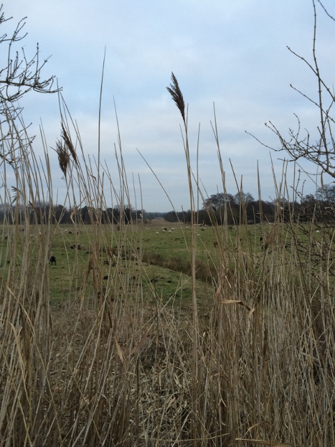
On a grey afternoon we drove up a minor no through road from Tuddenham and parked by Tuddenham Woods (grid reference 745721).
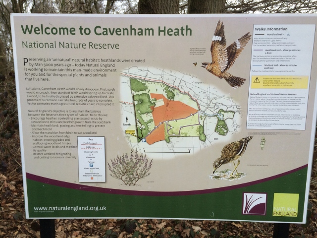
Cavenham Heath National Nature Reserve.
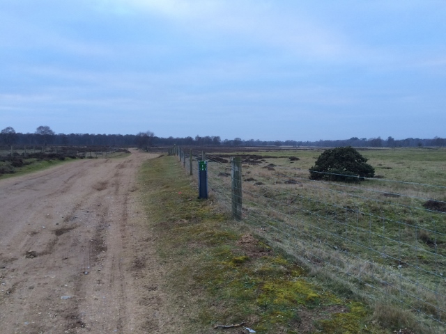
There were a few other vehicles around and as we walked up the road towards the heath we were passed by a van marked Search and Rescue on the front and Search and Rescue Dogs on the back. Once we were on the heathland with its low scrubby heather we could see what a good area this would be for training the dogs – in fact we passed one owner who was doing just that with her spaniel.
Natural England describes the site:
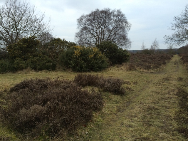
Much of Cavenham Heath NNR is typical Breck heathland with dry, acidic sandy soil supporting acid grassheath, heather heath with patches of bracken and sand sedge. In addition there are riverside meadows, woodland, wet woodland scrub and small areas of fen.
Yet it was more than this, even in the middle of February. The silver birch trees filling the sky with their handsome winter shapes – their bright trunks shining against the background;
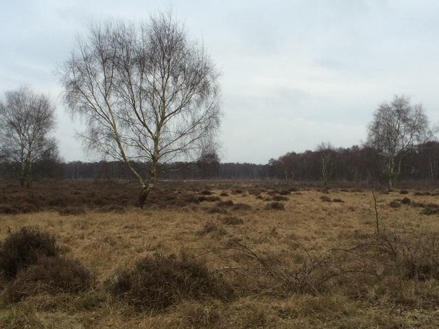
Silver Birch trees at Cavenham Heath
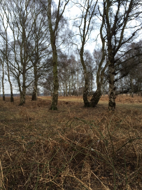
Silver birch trees at Cavenham Heath.
fungi and lichen on natural and man-made structures alike;
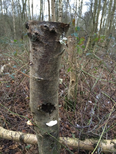
Fungi and lichen on post.
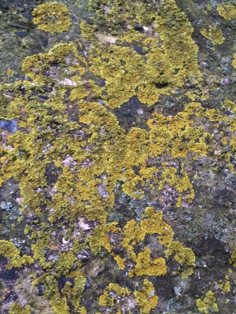
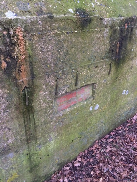
Lichen on pillbox walls.
and yellow flowers on gorse bushes contrasting with the browns and greys of last season’s heather.
Yellow gorse flowers.
We noted on the different soil colours,
Light sandy soil.
Darker peaty soil.
the sheep grazing amongst the heather and the rabbits and mole hills. A notice told us that volunteers were trapping the rabbits to check on their numbers, their health and whether they were pregnant before being released.
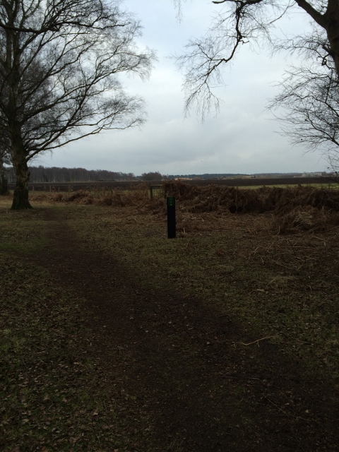
We were following part of the Icknield Way Trail with an axe logo on its signs,
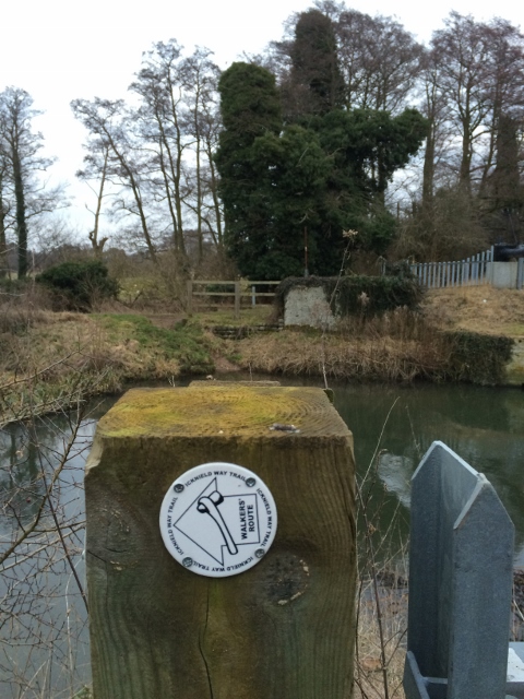
Icknield Way direction sign.
a long distance footpath from the Ridgeway Path in Buckinghamshire to the Peddars Way in Norfolk and I now feel the urge to walk longer sections of this route. It took us to the River Lark and the remains of Temple Bridge, which was originally of medieval origin before later bridges were built there. The name comes from the community (preceptory) of the Knights Templars, who were thought to be there in the early 14th century, before their order was dissolved.
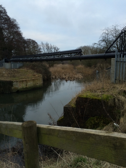
Pipeline over the remains of the Temple Bridge.
Along with this older history were much more recent remains – those of WW2 concrete pillboxes.
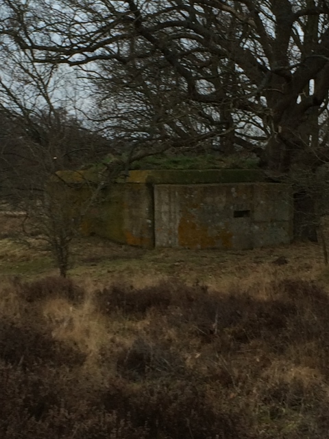
WW2 Concrete Pillbox.
WW2 Concrete Pillboxes – part of the Eastern Command Stop Line.
I did some investigation about why there were so many in a small area and found that they formed part of the Eastern Command Line, one of a series of barriers or stop-lines formed by concrete pillboxes, gun emplacements, anti-tank obstacles, trench systems, minefields and barbed wire entanglements which utilised natural as well as man-made features such as rivers, canals and railway embankments. They were designed to ensnare and delay the German forces and were built in the summer of 1940 by local contractors. This section ran from Mildenhall to Sudbury via Bury St Edmunds.
This was a gentle three-mile walk – we still need to sort out my husband’s footwear to stop him getting blisters, but it opened my eyes to another fascinating part of our local landscape and historical past, which I would never have known anything about otherwise.
Sometimes we are so busy gazing into the distance that we fail to see what is on our own doorsteps. This is one resolution for this year that I am really enjoying keeping.
Today’s walk: 3.01 miles
Walk total this year: 23.77 miles
Overall total daily mileage: 151.62 miles
Leave a Comment